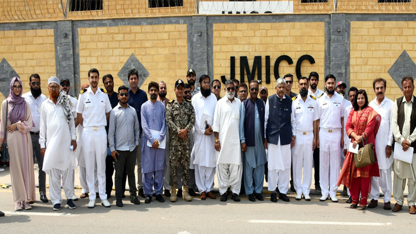
Pakistan Navy has distributed indigenously developed fishing map to local fishermen for supporting them in safe conduct of fishing activities.
These maps were distributed during a ceremony held at Joint Maritime Information Coordination Centre in Karachi today.
According to the press release issued by Pakistan Navy, the fishing map includes vital information such as the precise positions of ghost nets which is a significant threat to marine life and vessels of fishermen.
Moreover, it will enable fishermen to avoid areas unsuitable for fishing activity and reduce the risk of breakdowns of boats at sea.
The indigenously developed fishing map can easily be viewed on open source Android and IOS based navigation applications.